
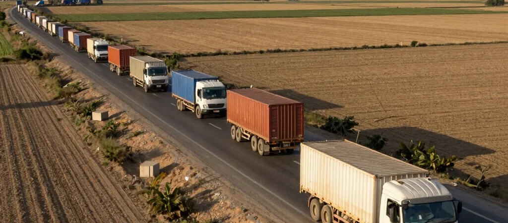
The daily convoy of freight trucks moving raw cotton along the National Highway represents more than modern supply chain management. This economic highway mirrors the primary riverine and overland logistics corridors established across the Indus basin in 2500 BCE.
Geographic Permanence in Textile Production
Long before modern industrial spinning mills operated in Multan and Faisalabad, specialized craft centers cultivated and processed regional short-staple cotton for international export. Standardized weights and river barges formed the backbone of a sophisticated commercial ecosystem stretching to Mesopotamia.
Today, contemporary analysis shows that port connections at Port Qasim and Gwadar succeed or fail based on how efficiently they connect to these ancient interior agricultural heartlands. Regional trade policy must account for the natural geography that has dictated freight movement for thousands of years.
Securing the Future of Basin Commerce
By modernizing dry ports along historical river trade intersections, economic planners can dramatically reduce transport overhead for exporters. Acknowledging this deep living legacy enables policymakers to design regional trade agreements anchored in proven economic geography.